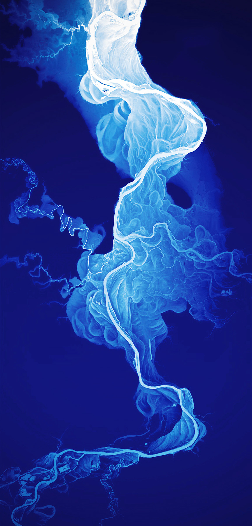
This impressive image is actually a beautiful map of the Willamette River Historical Stream Channels in Oregon. The shades of white show a 50-foot elevation range which brings out the changes made by the river channel in the last 12,000 to 15,000 years.
(via)


Leave a Reply